Los Santos District (Distrito de Los Santos)
地図 - Los Santos District (Distrito de Los Santos)
地図


国 - パナマ
 |
 |
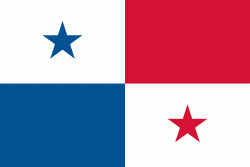
| パナマの国旗 | |
パナマの存在する場所は南北アメリカと太平洋、大西洋の結節点に当たる.
|
|
| パナマの国旗 | |